
Great imagery requires great systems
We build our own sensor packages from state-of-the-art commercial components and spend our effort calibrating and integrating them for the airborne environment.
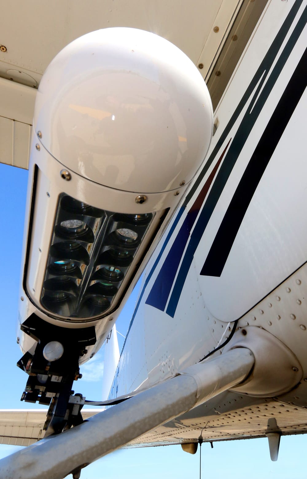
The GeoPod family
The GeoPod is a compact, aerodynamic pod that mounts to several classes of Cessna aircraft and turns them into mapping aircraft. It carries the cameras, GPS receiver and control electronics in a single unit, so no aircraft modification is needed.
- RGB, thermal, multispectral and lidar variants built on the same platform.
- Hyperspectral and thermal payloads for classification, water and heat studies.
- Flight management system on a tablet controls the sensors and shows the pilot coverage in real time.
Internal sensors
Our internal sensors install inside the aircraft and image through a port in the hull. Examples include:
- 40k RGB. A swath of more than 40,000 pixels across a field of view of about 50 degrees, for class-leading productivity and economics.
- 24k RGB+N. A high collection rate option for basic 4-band data.
- 12k MSI. The highest capacity true multispectral system available: calibrated, narrow band VNIR sensing with an additional thermal band.
- Lidar systems. A variety of lidar sensor options, from high point density systems for corridors to wide-area coverage.
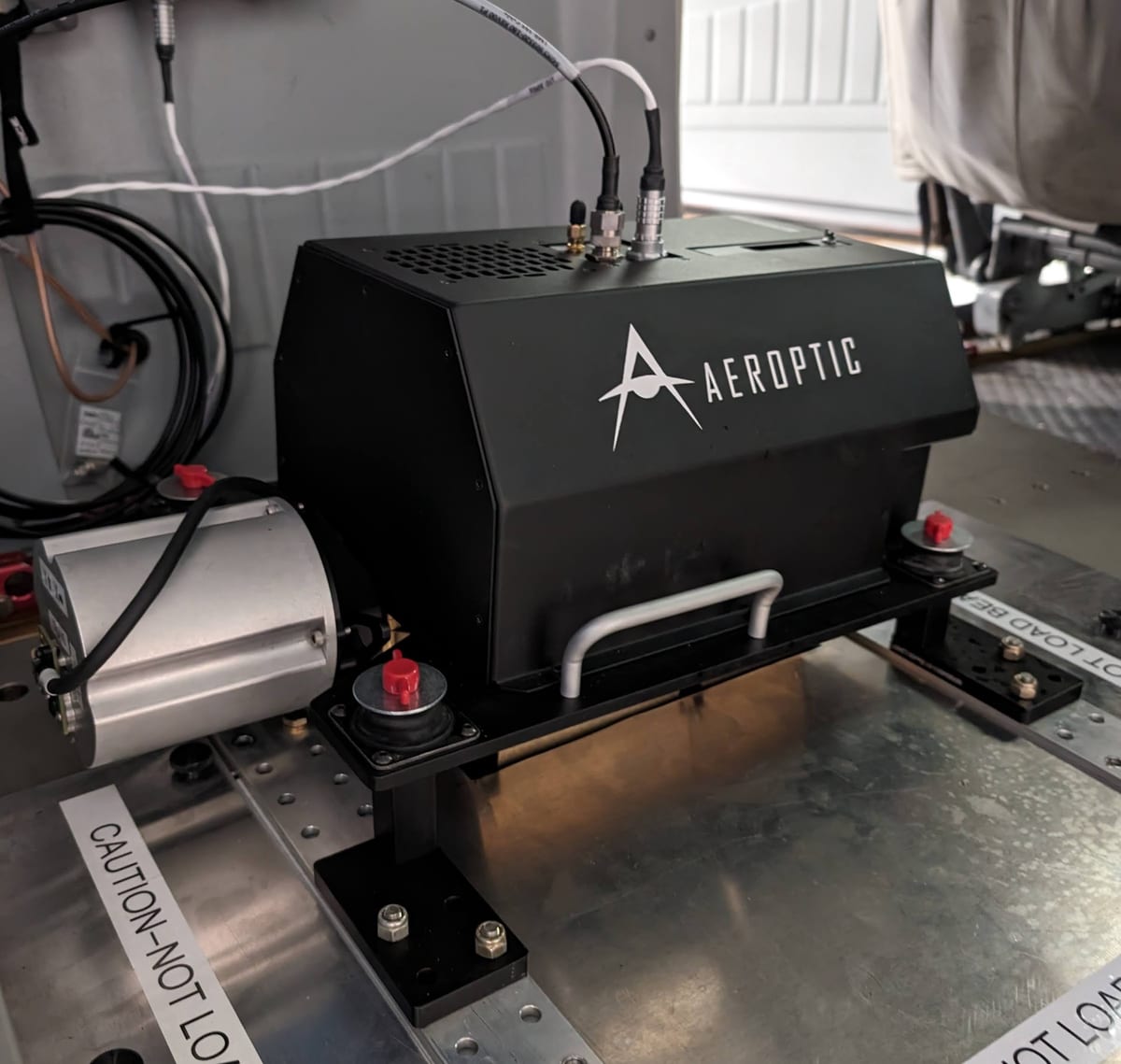
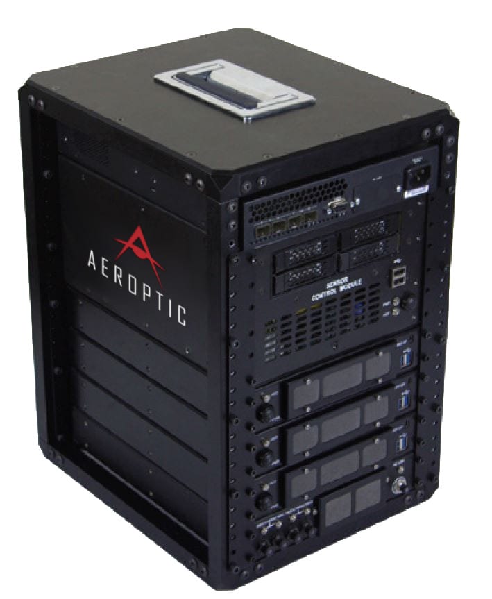
Highly accurate, highly efficient
The Aeroptic GeoProcessor provides both image and geopositional processing. It converts newly collected imagery from raw format into viewable files and generates the matching geospatial metadata.
- Enhancement: lens distortion correction, radiometric effects, exposure compensation and color balancing.
- Production: ortho-projection, ortho-mosaicking, image tiling and compression to a final mosaic.
- Direct geo-referencing with automated correction of GPS/IMU timing errors, removing up to 0.5 m of error per dataset.
When aerial isn’t the right fit
Our own aircraft and sensors are the core of what we do. When a project is better served another way, we also supply satellite and drone data and deliver it to the same standards:
- Satellite. Commercial imagery from 30 cm to 3 m, plus Sentinel-1, Sentinel-2 and Landsat for frequent, wide-area revisits.
- Drone. Small sites and fine detail, from sub-millimeter imagery to 6 cm orthomosaics.
Interested in your own system?
Drop us a note and we’ll work with you to get one.