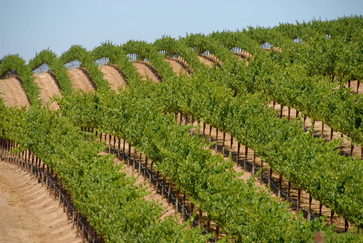
Precision agriculture
High-resolution, radiometrically corrected multispectral imagery to manage crops more efficiently across the growing season.
Learn more →
Aeroptic designs, builds and flies its own airborne sensor systems, and delivers calibrated, georeferenced aerial imagery to energy, agriculture and emergency management clients. We are part of IntelinAir, and the same team has worked out of North Andover, Massachusetts, since 1991. Read about our legacy.
Today we map pipeline and utility corridors for regulatory compliance, collect wide-area imagery in support of energy exploration, and have collected road imagery at a national scale. When aerial collection isn’t the right fit, we also supply satellite and drone data.
From enhancing precision agriculture in the Corn Belt to improving crop yields in emerging nations, Aeroptic is focused on helping the world unlock the power of aerial imagery in geospatial information systems.
We work from a gated facility at Lawrence Municipal Airport in North Andover, Massachusetts, about 20 miles north of Boston and within easy reach of Boston Logan and Manchester airports. Everything needed to take a sensor from the bench to the field is on site:
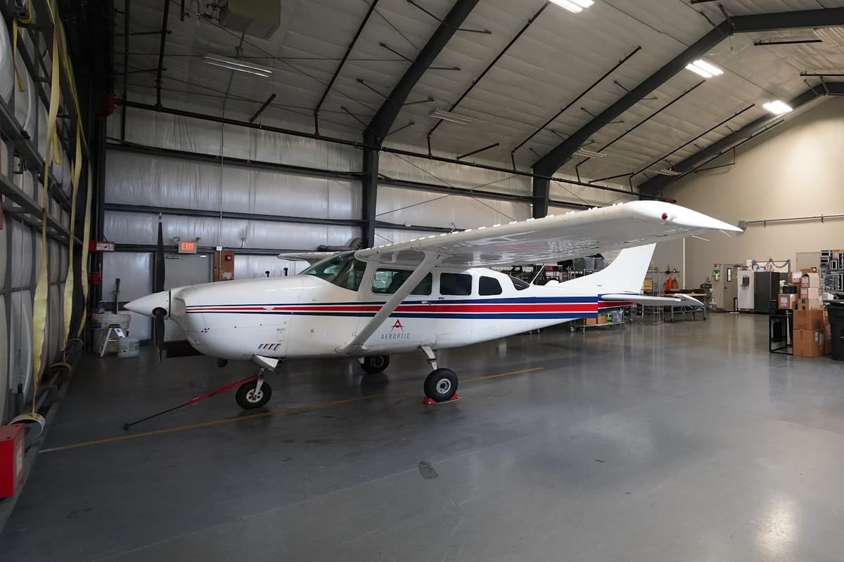
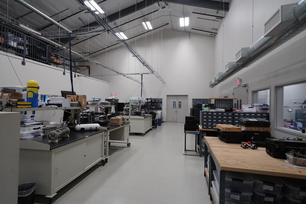
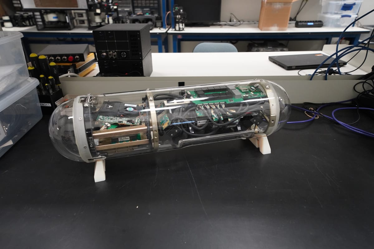
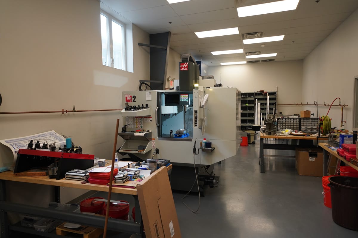
Our philosophy stands in contrast to mapping systems that rely on heavy computing to “fix” poor input data. We leverage state-of-the-art components from the commercial market and spend our resources calibrating and integrating them for the airborne environment, so the data is right when it leaves the aircraft.
Every camera is calibrated in house in our optics facility. Radiometric calibration ensures accurate signal measurement in each spectral band, which makes analytics more reliable. Geometric calibration ensures spatially accurate imagery maps without ground survey points.
We position every frame from the aircraft’s own navigation data rather than from surveyed ground control points. Our custom IMU, inertial navigation system and inertial processing software fuse differential GPS with inertial measurements, holding accurate sensor position over long distances without the S-turns or 360s other systems fly to recalibrate. No ground survey crews are needed, which is what makes long corridor collections efficient.
The GeoProcessor then corrects lens distortion, radiometric effects and exposure, and ortho-projects, mosaics and tiles the imagery, with near-real-time products available as soon as six hours after collection.
High-resolution, radiometrically corrected multispectral imagery to manage crops more efficiently across the growing season.
Learn more →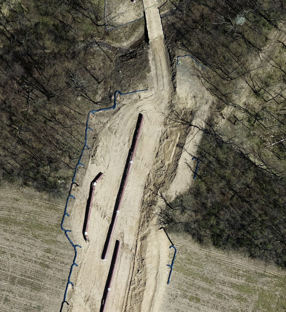
Linear infrastructure monitoring for oil, gas and utility clients, mostly pipeline mapping for regulatory compliance, plus wide-area collections in support of exploration.
Learn more →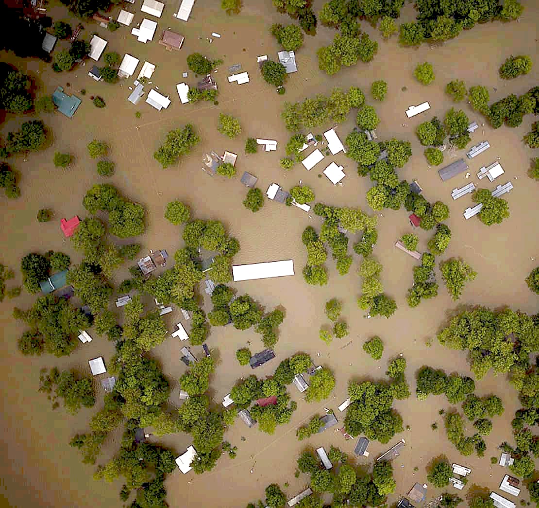
Time-critical imagery delivered to responders within hours of collection to protect lives and property.
Learn more →We’re always interested in talking with partners, customers and pilots.