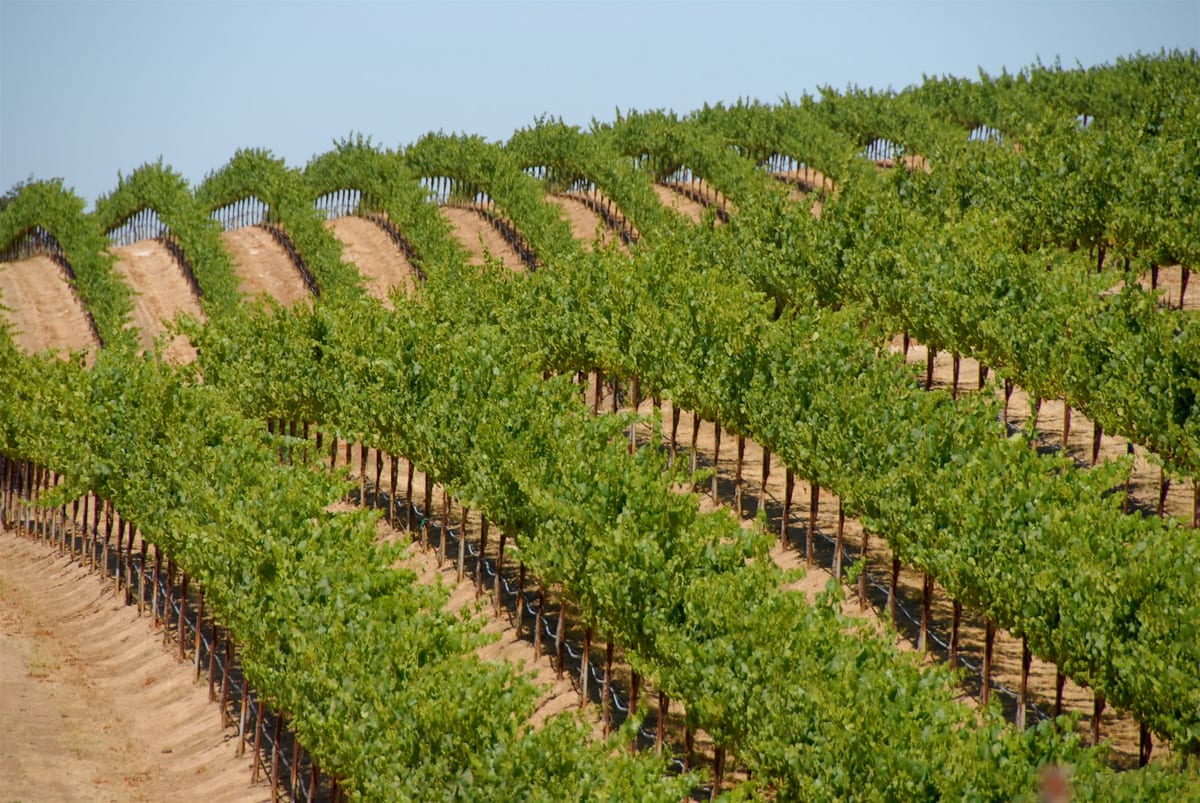
Precision agriculture
High-resolution, radiometrically corrected multispectral imagery to manage crops more efficiently across the growing season.
Learn more →
Calibrated aerial imagery and sensor systems for precision agriculture, energy and emergency response, collected on demand from our own fleet.
We collect it with our own aircraft and sensors. When aerial collection isn’t the right fit for a project, we also supply satellite and drone data.
High-resolution, radiometrically corrected multispectral imagery to manage crops more efficiently across the growing season.
Learn more →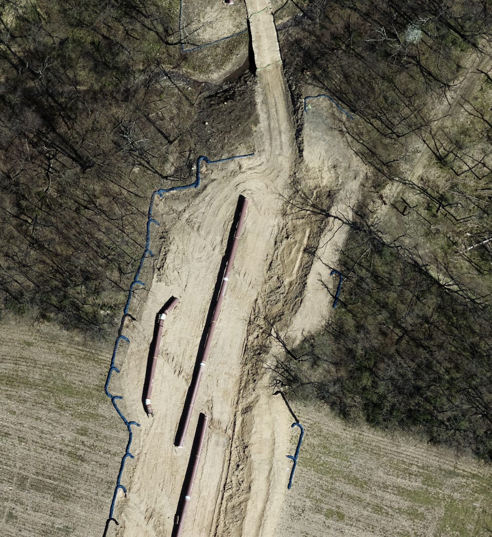
Linear infrastructure monitoring for oil, gas and utility clients, mostly pipeline mapping for regulatory compliance, plus wide-area collections in support of exploration.
Learn more →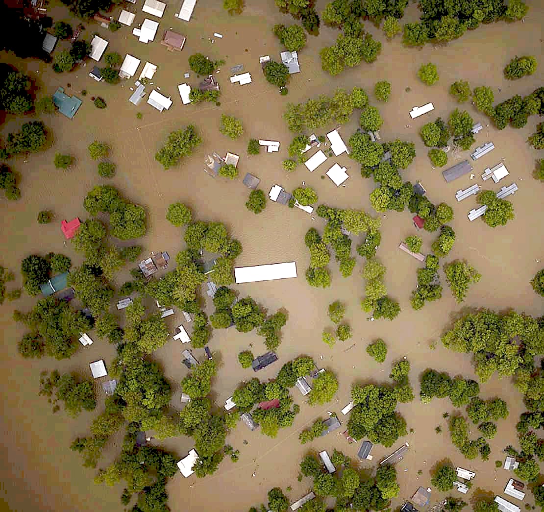
Time-critical imagery delivered to responders within hours of collection to protect lives and property.
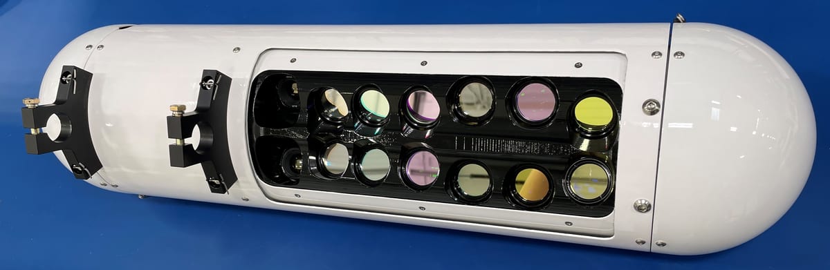
Learn more →We build our own sensor packages from state-of-the-art commercial components and spend our effort calibrating and integrating them for the airborne environment, so the highest quality data is produced at every stage of capture and processing.
Tell us about the area, the timeframe and what you need to measure. We’ll come back with a collection plan and pricing.
Get started